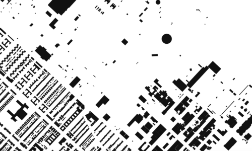
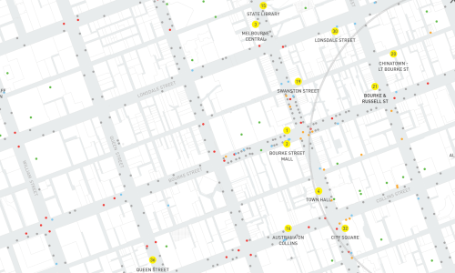
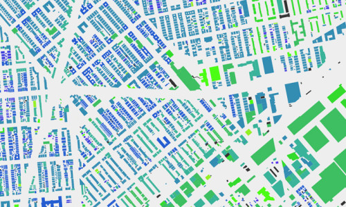
Morphocode Explorer is now live
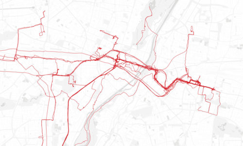
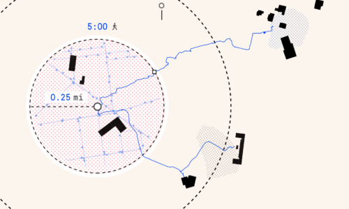
The tool lets you analyze existing site conditions, measure key urban indicators, and perform spatial analysis directly in the browser.
Read Full Story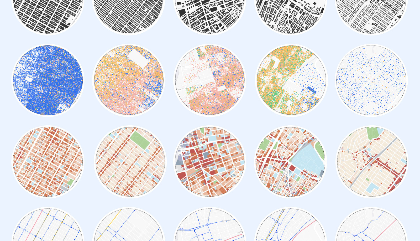
The tool lets you analyze existing site conditions, measure key urban indicators, and perform spatial analysis directly in the browser.
Read Full Story
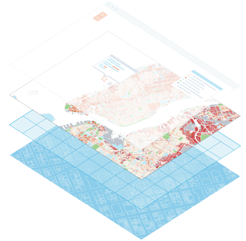
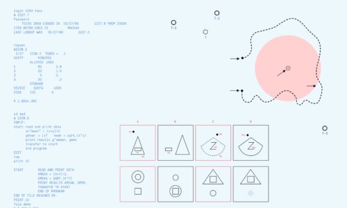
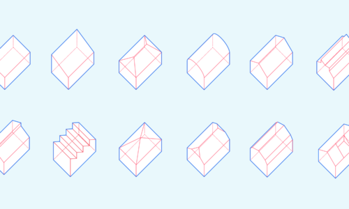
We are excited to share with you a preview of our video course Mapping Urban Data!
The course covers the whole process of building an interactive web map: from urban data exploration and design principles to building the UI and adding interactivity with JavaScript.
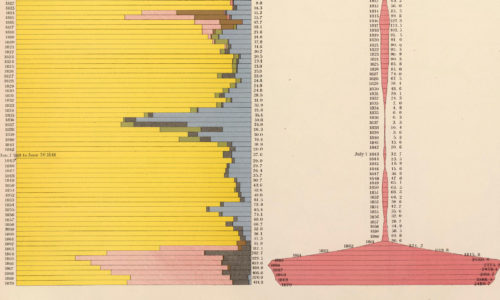
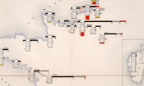
See PreviewThe most common ways to visually organize information are based on location and time. In this interactive story, we take you through common techniques for visualizing time series data.
Read Full Story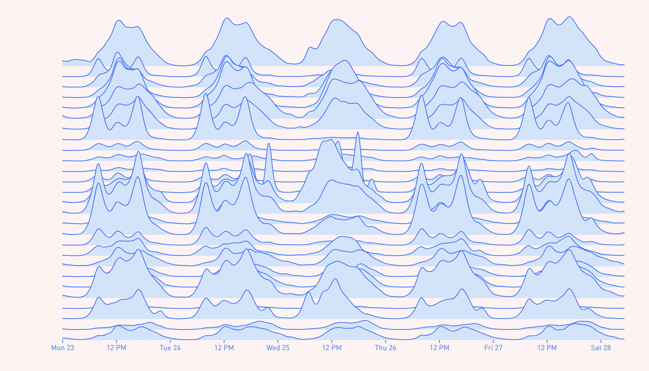
Get the latest articles, tutorials, and free resources from Morphocode