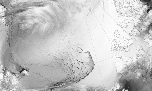
The first 30 meter resolution map of global forest change, from 2000-2012, is a result of the collaboration between remote sensing scientists at the University of Maryland and computer scientists at Google, who managed the implementation of the final models using Google’s Earth Engine – a platform for environmental data & analysis, that holds a copy of the entire Landsat image catalog.
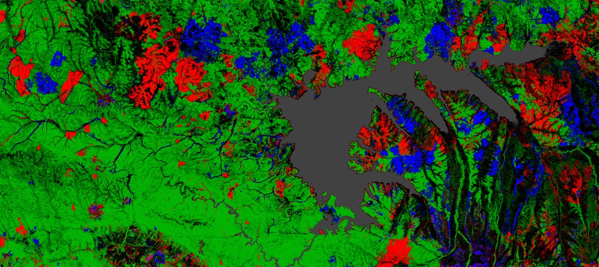
High-Resolution Global Maps of 21st-Century Forest Cover Change by Hansen et al. was recently published in Science. According to the paper Brazil’s well-documented reduction in deforestation was offset by increasing forest loss in Indonesia, Malaysia, Paraguay, Bolivia, Zambia, Angola, and elsewhere. Intensive forestry practiced within subtropical forests resulted in the highest rates of forest change globally.
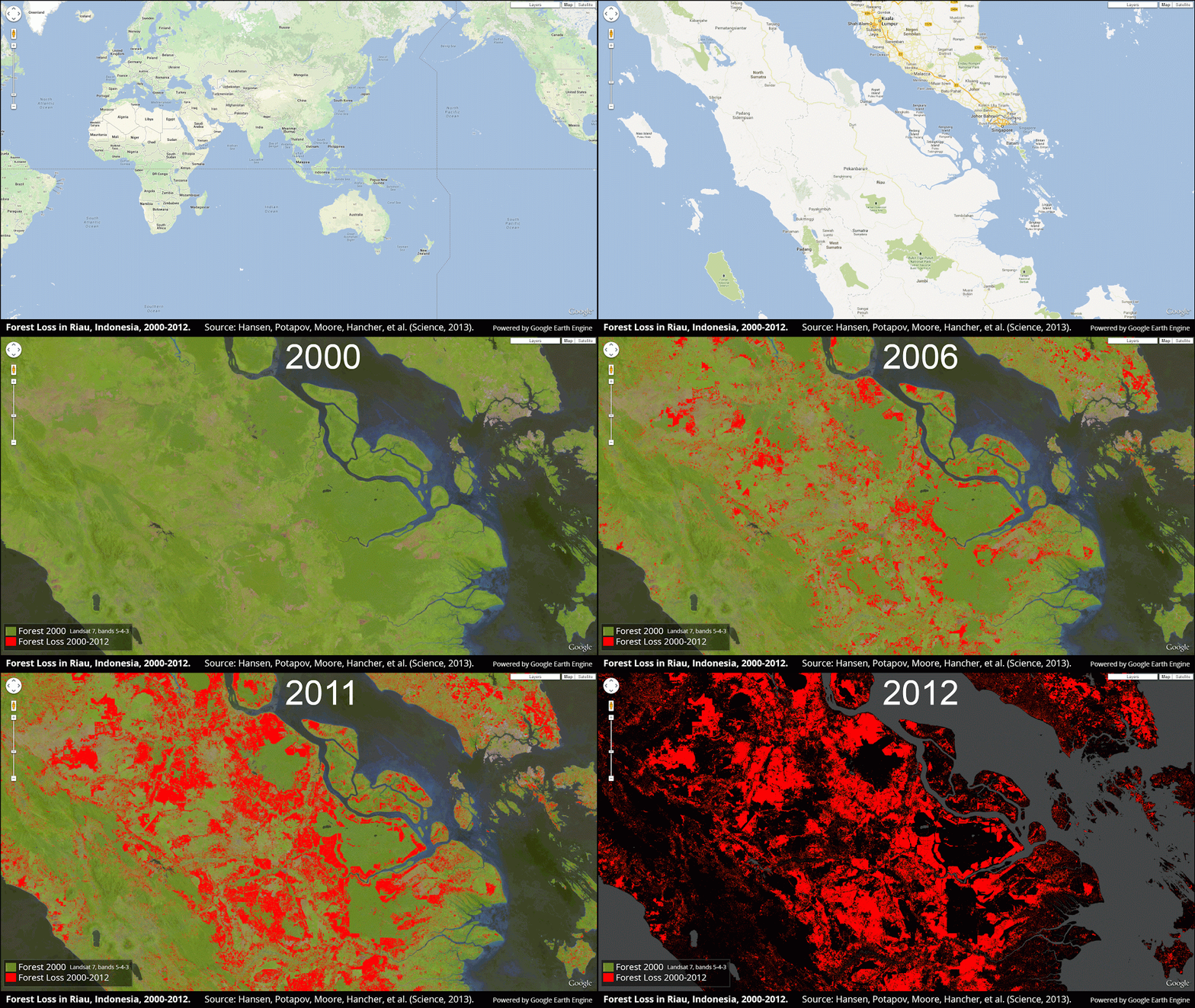
Sumatra has lost over 50% of its natural forest within the past 30 years. Riau province is a global hotspot of tropical rainforest loss over the last decade, with more recent clearings moving into peatland swamps. Peatlands are home to immense soil carbon stores and unique biodiversity richness. Having nearly exhausted upland natural forest resources, agroindustrial development in Riau has moved into peatlands, with significant, deleterious environmental consequences.
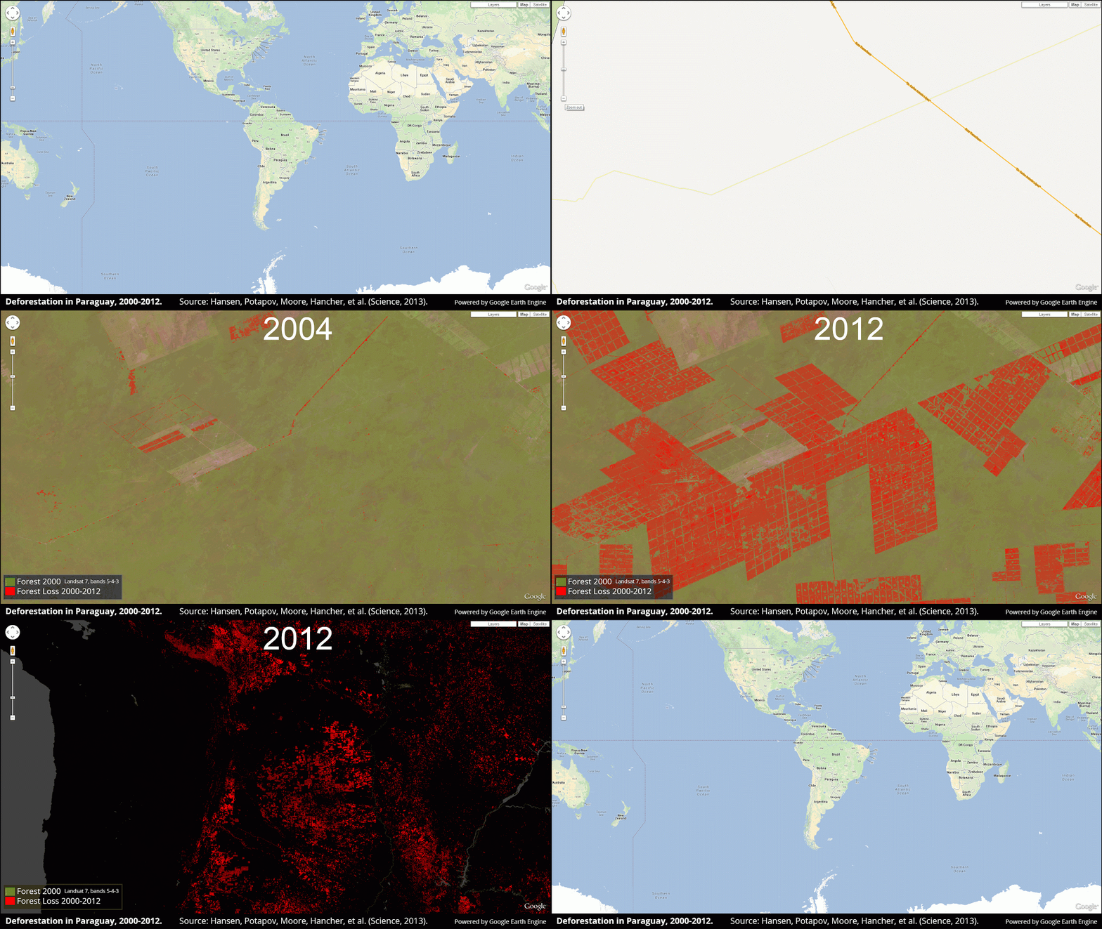
The Chaco woodlands of Bolivia, Paraguay and Argentina are under intensive pressure from agroindustrial development. Paraguay’s Chaco woodlands within the western half of the country are experiencing rapid deforestation in the development of cattle ranches. The result is the highest rate of deforestation in the world.
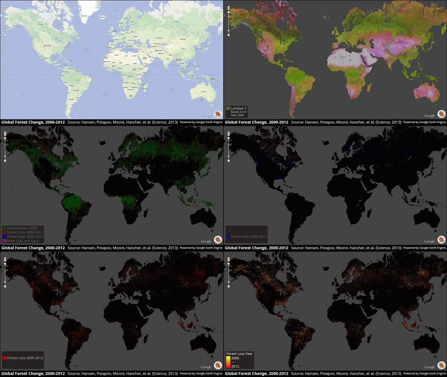
The bottom-line conclusion is that global forest loss totaled 2.3 million square kilometers and gain 0.8 million square kilometers from 2000 to 2012


