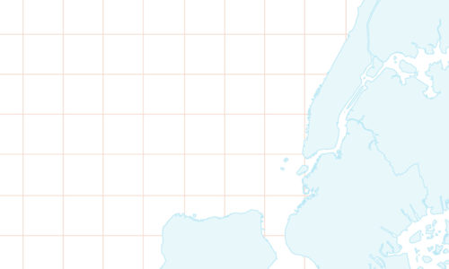
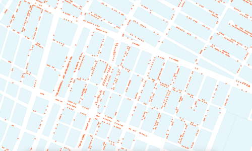
A figure-ground diagram is a mapping technique used to illustrate the relationship between built and [...]
We are excited to share with you a preview of our video course Mapping Urban [...]
7 Comments
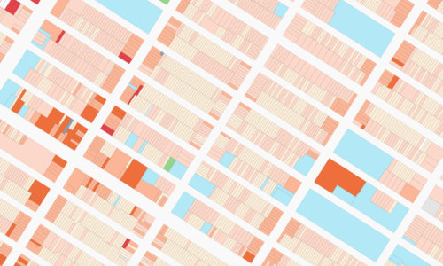
The use of color in maps and data visualizations has a long tradition. Color, along [...]
4 Comments
“Mapping Urban Data” will be the first in a series of video courses dedicated to [...]
6 Comments
Username
Password Forgot password?
Keep me signed in until I sign out
First name Last name
Email
Password